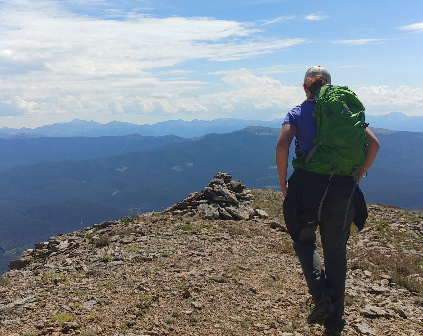
Fraser River Trail
(Easiest) Great mixed surface (roadside, paved path, sidewalk, dirt) walking path going from Winter Park Resort through the Town of Winter Park and on to the Town of Fraser following the Fraser River. Woods, beaver ponds, shops, riverside (depending on the segment.) Stroller and small child-friendly. It can be broken into segments. 5 miles point to point.
Bonfils Stanton
(Easy) Short, easy loop combining trails and boardwalks through a wetland habit at the base of the Jim Creek drainage. Great for kids. 1.4 mile loop
Serenity
(Easy) Relatively easy, walk through nice, mature forest which is rare in this area. Short, gradual, ups and downs. Best started from Winter Park Resort. 3 miles round trip
Broome Hut/Second Creek
(Intermediate) A not too challenging mile long uphill to the Broome Hut where spectacular views of the Fraser Valley await. Continue up Second Creek to the Continental Divide for more dramatic views. 5 miles round trip
Jim Creek Falls
(Intermediate) Gradual uphill trek meandering next to Jim Creek; ends in a small set of alpine waterfalls. Great opportunities for moose sightings. 7 miles round trip
Roger's Pass & James Peak
(Challenging) Begins across from Rifle Sight Trestle on Corona Pass. Quickly goes above treeline and across tundra gradually moving upwards to the top of the pass and beyond to James Peak on the Continental Divide. One way: 2.5 miles to pass; 2.1 more miles to James.
St. Louis Lake
(More Challenging) Amazing for wildflowers during late June and July. Lake sits in a bowl backed by rocky outcrops. Best done as a bike and hike.* 6.8 miles one way (3mi. biking; 2.8mi hiking)
Columbine Lake
(More Challenging) Lovely subalpine hike through woods and meadows with stream crossings, marshes and ponds before you arrive at the alpine Columbine Lake at the base of Mt. Neva. 5.75 miles round trip
Devil's Thumb
(Challenging) As you sit on the Continental Divide, you will have an up close view of this namesake rocky protrusion, wonderful views of the Fraser Valley and if the air is clear, you may see all the way down the other side into Boulder! 7.8 miles round trip
Byer's Peak
(Challenging) Takes you to the top of the peak that dominates the western side of the Fraser Valley. Several steep climbs and false summits before the top and 360 degree views. Most likely spot to come across mountain goats. Best done as a bike and hike.* 4.3 4.4 miles one way (3.2 1.6 miles biking; 2.8 miles hiking)
Mt. Nystrom
(Difficult) Mature forests, scenic meadows, huge views and challenging boulder fields. Often done as a bike and hike.* 10.5 miles one way (5.8 biking, 5.7 hiking)
*Bike and hikes are due to final segment of road being closed to private vehicles.
Click here for more Trail Info!